Ministry of Defence participated in the project of developing new topographic maps
The academy upon the completion of Croatian topographic map in scale 1: 25 000 (project TK-25) was organized by the State Geodetic Administration (SGA) on Wednesday, December 8.
The Academy has concluded the project that began fifteen years ago, with the aim of making an official topographic map of Croatia. Thus Croatia became the only country in the region to establish a new production of digital topographic maps based on the new measure, thereby developing its own scientific, technical and economic capacity needed for the subject development.
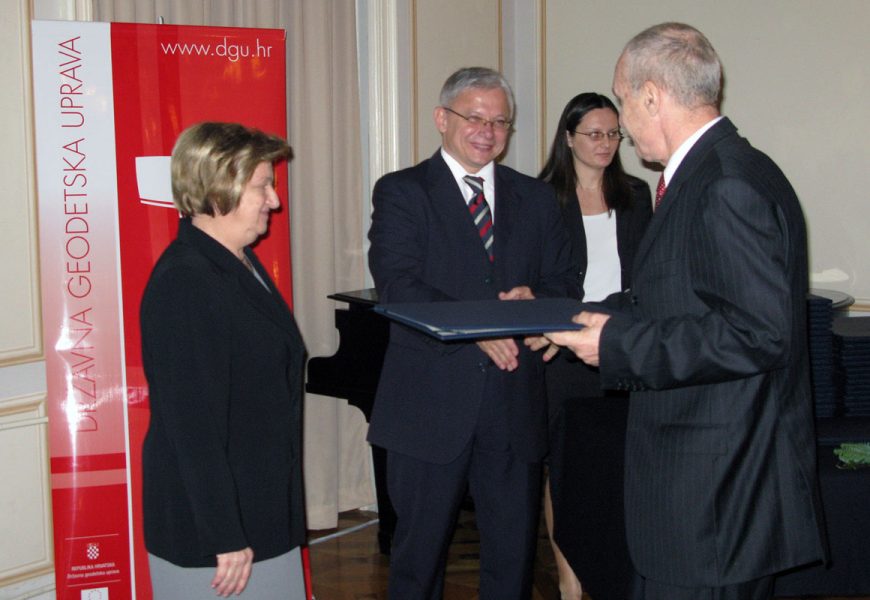
Apart from the SGA employees and experts who worked on the project, the academy was attended by a number of state and local government officials led by Prime Minister Jadranka Kosor, Minister of Environmental Protection, Physical Planning and Construction Marina Matulovic Dropulic and State Secretary of the Ministry of Defence Mate Raboteg, who on behalf of the MOD received a Certificate of Appreciation in the category of Operating contribution for the implementation of the TK-25 Project.
In his address to the audience, Prime Minister has called this completed project “a new page in the development of Croatia”. Thanks to the project, all national and regional institutions, as well as the economy, have the basis that enables them effective management and development, said the Prime Minister. Explaining the role of the MOD in the project, Secretary of State Raboteg noted that the Ministry has included in it under the Agreement on Cooperation with the SGA. By the Agreement, MOD and SGA consolidated personnel and financial resources to prevent overlap in the work of TK-25 Project and in MOD’s development of VoGIS – Military Geographic Information System, Raboteg said.